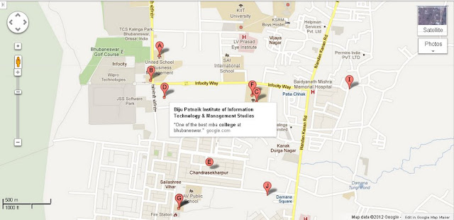
The Following Bhubaneswar Area Map Shows Biju Patnaik Institute Of Information Technology and Management - infocity Way - Nadan kanan Road.Please click the Map to see the Complete Area. This Map includes the listed places near Biju Patnaik Institute Of Information Technology and Management, infocity Way and Nadan kanan Road.Places seen in the map are Infociity way, Patia chhak, JSS software Park, Infocity, Kanak Durga Road, Chandrasekharpur, Sailashree vihar, Dav Public School, Fire Station, Sai International School, LV Prasad Eye Institute, KIIT University, Vijay Nagar.
